
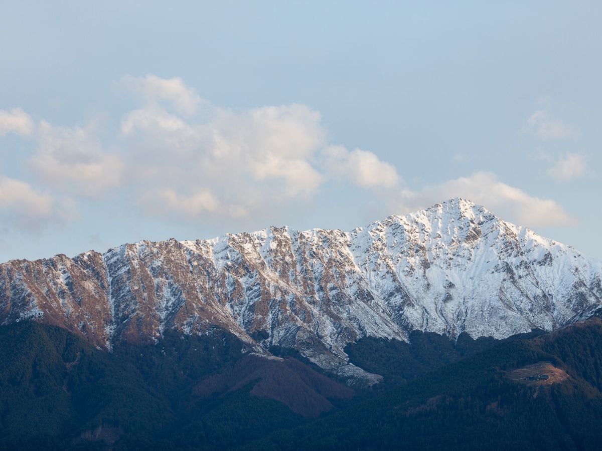

Short answer: the easiest Munro for most beginners is The Cairnwell, usually climbed with its neighbour Càrn Aosda from the Glenshee Ski Centre. It is the shortest outing, with the least climbing, of the nine hills ranked below. If you want a classic single-summit first Munro with simple navigation, Ben Chonzie and Ben Lomond are the next best choices.
Every list of easy Munros disagrees with the next one, and most of them skip the numbers that matter: how far you walk, how much you climb, how long it takes and what happens when the cloud comes down. This guide ranks nine hills using the same measures for each, so you can choose by what you can actually manage rather than by whichever name appears most often.
We assume you can walk comfortably for four to six hours, you have walked on hills or good paths before, and you have never climbed a Munro. Even the easiest Munro is a mountain day. It is higher, colder, windier and further from help than the car park suggests.
What counts as an easy Munro?
There is no official scale for “easy”. Walkhighlands, the standard reference for Scottish hill routes, grades its walks in boots and describes the gentler Munros as straightforward hillwalking in good summer conditions. We ranked the nine hills below on five questions:
- How much climbing is there? Total ascent matters more than distance for most beginners.
- How long are you out? A shorter day leaves more margin if the weather turns.
- Is the path obvious? A wide, well-made path forgives mistakes. A pathless stretch does not.
- Is the navigation forgiving in cloud? Fence lines, tracks and ski-lift roads help. Featureless plateaus and boulder fields do not.
- How exposed is it, and how quickly can you get down? A high, open ridge is slower to escape than a glen walk.
The ranking is our judgement based on those questions and on published route data. Distances, ascents and times come from the route data in each hill’s Cairnova guide, and the descriptions, grades and warnings draw on Walkhighlands route pages. All figures were checked in October 2026, and paths, car parks and estate access change, so check again before you set off.
The easiest Munros for beginners, ranked
Easiest first. Times are walking times, so add time for breaks, photos and a slower pace on your first outing.
| # | Hill | Distance | Ascent | Time | Navigation |
|---|---|---|---|---|---|
| 1 | The Cairnwell | 2.9 km | 286 m | 2 to 3 hours | Ski-lift tracks, then a stony path |
| 2 | Ben Chonzie | 12.8 km | 725 m | 3 to 5 hours | Track, then fence posts to the summit |
| 3 | Ben Lomond | 11.9 km | 999 m | 3 to 5 hours | Wide, obvious path |
| 4 | Schiehallion | 10.4 km | 762 m | 3 to 4 hours | Excellent path, then boulders |
| 5 | Ben Vorlich (Loch Earn) | 9.7 km | 890 m | 3 to 4 hours | Well-used path, steeper final climb |
| 6 | Driesh (with Mayar) | 10.8 km | 768 m | 3 to 4 hours | Path, then fence posts and cairns |
| 7 | Ben Wyvis | 14.8 km | 943 m | 4 to 5 hours | Built path to an open plateau |
| 8 | Ben Lawers and Beinn Ghlas | 11.4 km | 940 m | 3 to 5 hours | Clear path, very exposed ridge |
| 9 | Mount Keen (from Glen Esk) | 17.7 km | 709 m | 4 to 6 hours | Track and good path |
The distances, ascents and times in the table come from Cairnova’s route guides. Those routes are digitally mapped from public data and have not been field-verified, so treat them as planning guidance and check them against a current map. Where a day covers more than one Munro, the write-up says so and names the source of the combined figure.
Each hill below links to its Cairnova Mountain Intelligence guide, which covers the live summit forecast, route map and GPX download, parking and transport, and safety information. To see the routes in 3D, use the interactive 3D map on Mountain Intelligence.
1. The Cairnwell and Càrn Aosda (Glenshee)
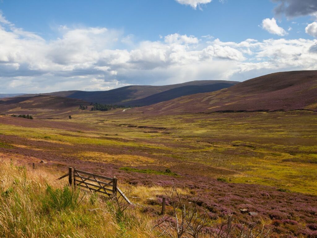
The Cairnwell 933 m, 2.9 km, 286 m of ascent, 2 to 3 hours. Next door, Càrn Aosda (915 m) is a separate 3.1 km, 268 m walk from the same car park, and the two are often combined. This is the lowest-effort pair of Munros in the Cairngorms. The walk starts at the Glenshee Ski Centre, already high on the hill, so the climbing is modest. The route climbs a steep track past the ski buildings, follows ski-lift tracks and crosses ski runs, then takes a stony path to the top of Càrn Aosda. The upper track is eroded in places.
Watch for: The Cairnwell summit carries transmitter masts and buildings, which are not pretty but are easy to find in cloud. If you add the third Munro, Càrn a’Ghèoidh (975 m), the ridge is flat and featureless and needs careful navigation in poor visibility. Walkhighlands gives the full three-Munro round as 13 km with 595 m of ascent, taking 5 to 6 hours.
Getting there: The ski centre car parks charge. Walkhighlands lists a daily Ember bus from Dundee, Aberdeen and Braemar, which makes this the most realistic car-free Munro on the list. Check the timetable before you plan around it.
Plan your trip: live forecast, parking, route map, GPX download and safety guide for The Cairnwell and Càrn Aosda on Cairnova.
2. Ben Chonzie (Glen Lednock)
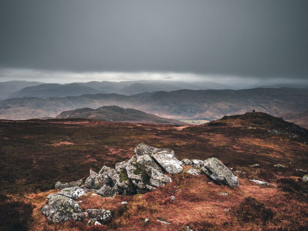
931 m, 12.8 km, 725 m of ascent, 3 to 5 hours. A gentle first Munro with some of the simplest navigation of any Munro. An easy track leads onto a moorland path that is indistinct in places, with a short boggy section. From there a line of metal fence posts leads to the summit, which helps a great deal in cloud. A large shelter sits just beyond the top.
Watch for: The return needs care. Leave the fence line carefully and rejoin the bulldozed track by retracing your steps south. Mountain hares are common, which is a good reason to take your time.
Getting there: Park in the small area opposite the old school at Coishavachan in Glen Lednock, not at the signed Old School about 900 m earlier. The nearest bus stop is in Comrie, so this is not a car-free option in practice.
Plan your trip: live forecast, parking, route map, GPX download and safety guide for Ben Chonzie on Cairnova.
3. Ben Lomond (Rowardennan)
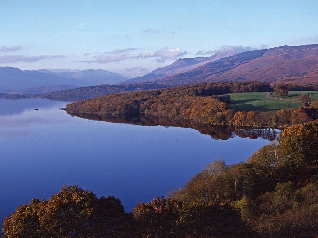
974 m, 11.9 km, 999 m of ascent, 3 to 5 hours. The most popular beginner Munro and the closest of the nine to Glasgow. The path is wide and obvious, with rocky sections, and the summit has a trig point and big views over Loch Lomond. You gain nearly 1,000 m from the loch shore, so this is a steady grind rather than a short walk.
Watch for: It is often busy, especially at weekends. The easiest way down is the way you came up. The alternative descent along Ptarmigan is steep, rocky and narrow in places, with wet sections and stepping stones, and is better left until you have more experience.
Getting there: The Rowardennan car park charges. There is no bus to the start, but a summer ferry runs from Tarbet pier across the loch, and buses run to Tarbet from Glasgow and Balloch. Ben Lomond also sits beside the route of our West Highland Way guide.
Plan your trip: live forecast, parking, route map, GPX download and safety guide for Ben Lomond on Cairnova.
4. Schiehallion (Perthshire)
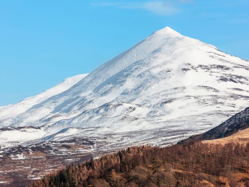
1,083 m, 10.4 km, 762 m of ascent, 3 to 4 hours. A distinctive cone with an excellent path for most of the way, and one of the shorter routes by distance. The last section to the summit is different: it is pathless and crosses awkward quartzite boulders.
Watch for: The true summit is further along the ridge than it first appears, and the top is a pointed mass of boulders with barely a cairn. It is hard to miss in clear weather and hard to identify in mist. Do not shortcut down the old eroded line, which the John Muir Trust is repairing. Carry a backup way to navigate rather than relying on one phone.
Getting there: Braes of Foss car park, which charges. There is no public transport to the start.
Plan your trip: live forecast, parking, route map, GPX download and safety guide for Schiehallion on Cairnova.
5. Ben Vorlich (Loch Earn)
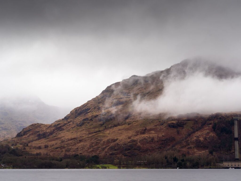
985 m, 9.7 km, 890 m of ascent, 3 to 4 hours. A straightforward hillwalk on a well-used path from Ardvorlich on the south side of Loch Earn. The final climb to the ridge is steeper, which is why it ranks fifth despite the shorter distance, and higher up there are loose scree zig-zags. Walkhighlands notes that most visitors turn back at Ben Vorlich and return the same way.
Watch for: Stùc a’ Chròin, the neighbouring Munro, is a step up. Linking the two involves a steep, rocky prow with slight scrambling, and that section is expert-only in winter. Leave it for another day. Stalking on the Ardvorlich Estate runs from mid-September to 20 October, though main paths and ridges stay open to walkers.
Getting there: Roadside parking on the verges just west of the hump-backed bridge over the Ardvorlich burn. Buses run to Lochearnhead and St Fillans only, not to the start.
Plan your trip: live forecast, parking, route map, GPX download and safety guide for Ben Vorlich on Cairnova.
6. Mayar and Driesh (Glen Doll)
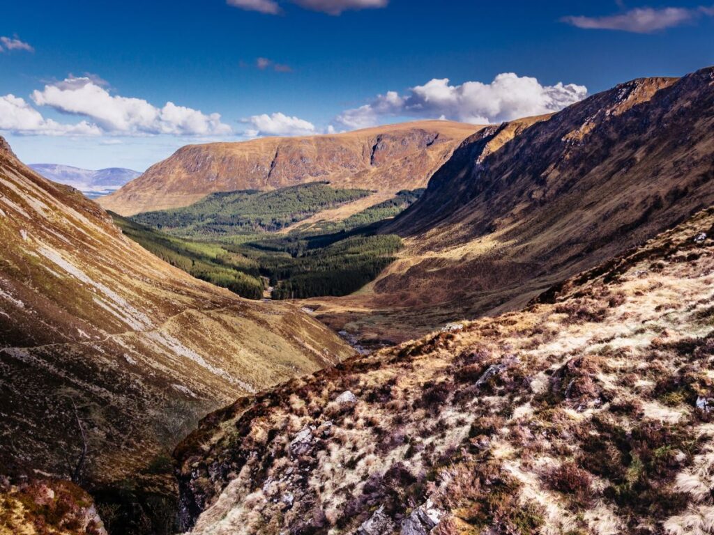
Driesh 947 m, 10.8 km, 768 m of ascent, 3 to 4 hours. Mayar (928 m) on its own is 12.1 km with 725 m of ascent. Walkhighlands gives the round of both Munros as 14.5 km with 835 m of ascent, taking 4.5 to 5.5 hours. A good path leads to the back of Corrie Fee, a dramatic glacial corrie. After that the route crosses pathless moorland before a rough path climbs to Driesh. Fence posts and cairns help you across the plateau, and a tall post marks where the Kilbo path joins.
Watch for: The ground is boggy (Walkhighlands rates it 4 out of 5). Avoid the steep, poorly defined ridge of Driesh via the Scorrie as an ascent. Stag stalking happens all year and hind stalking runs from 1 September to 31 March, so keep to formal paths, which is always acceptable.
Getting there: Glen Doll car park, which charges and has toilets and a ranger information post. There is no public transport to the start.
Plan your trip: live forecast, parking, route map, GPX download and safety guide for Mayar and Driesh on Cairnova.
7. Ben Wyvis (near Garve)
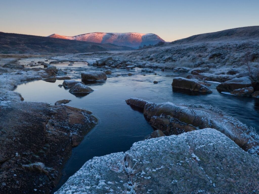
1,046 m (Glas Leathad Mòr), 14.8 km, 943 m of ascent, 4 to 5 hours. A long, steady walk in the north. The path starts through forest, crosses a footbridge and follows a stream, then becomes much steeper on a built path up to An Cabar (946 m). The summit plateau is wide, mossy and open.
Watch for: The plateau is exposed and conditions can become serious in poor weather. The soils are thin and easily damaged, and it is a nature reserve, so stay on a single central line. The simplest descent is to retrace your steps. The car park is small, has a height barrier and fills quickly. Do not park on the verge, because it is a clearway.
Getting there: Ben Wyvis car park, south of Garbat, signed from the A835 north of Garve. There is no public transport to the start.
Plan your trip: live forecast, parking, route map, GPX download and safety guide for Ben Wyvis on Cairnova.
8. Ben Lawers and Beinn Ghlas (Loch Tay)
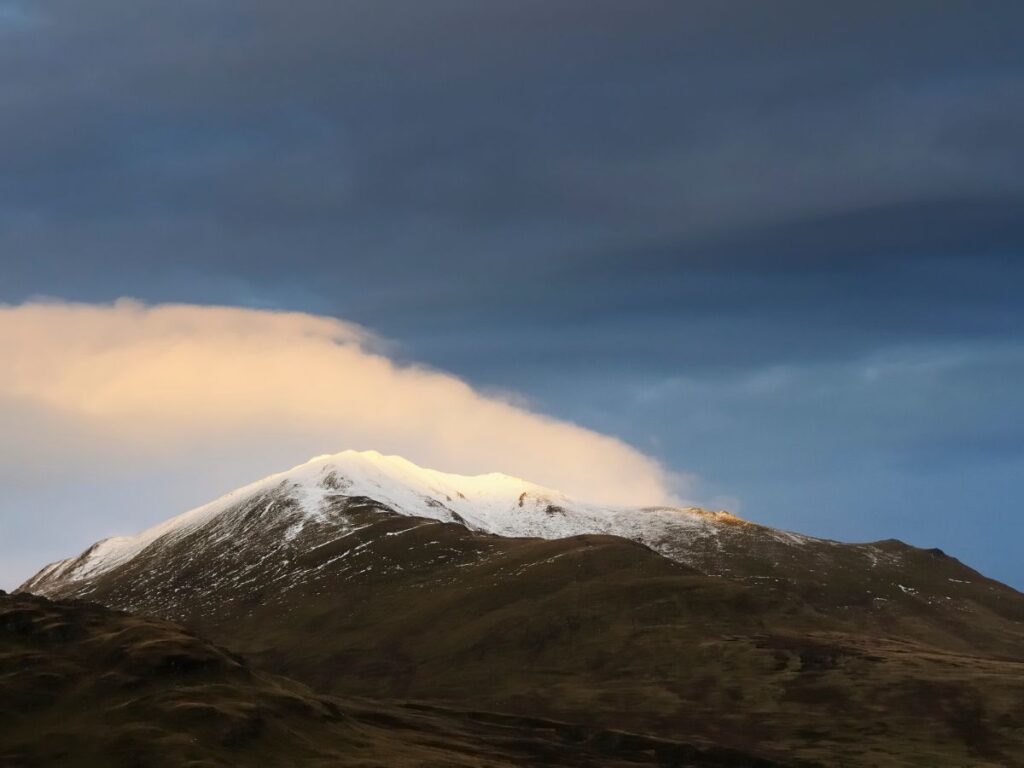
Ben Lawers 1,214 m, Beinn Ghlas 1,103 m. 11.4 km, 940 m of ascent, 3 to 5 hours. Two Munros on a clear path. The climb to Beinn Ghlas gets steeper and rockier with zig-zags, then a mostly grassy ridge leads down to the bealach before the final climb to Ben Lawers, which has a trig point and a view indicator.
Watch for: This is high-level walking and very exposed to bad weather. On the way back, take the bypass path around the north side of Beinn Ghlas and do not descend the nature trail, which is for ascent only. Extending the walk to An Stùc and the other tops involves trickier terrain and a long finish far from the car park.
Getting there: Ben Lawers car park, a pay car park in the National Trust for Scotland reserve. There is no public transport to the start.
Plan your trip: live forecast, parking, route map, GPX download and safety guide for Ben Lawers and Beinn Ghlas on Cairnova.
9. Mount Keen (from Glen Esk)
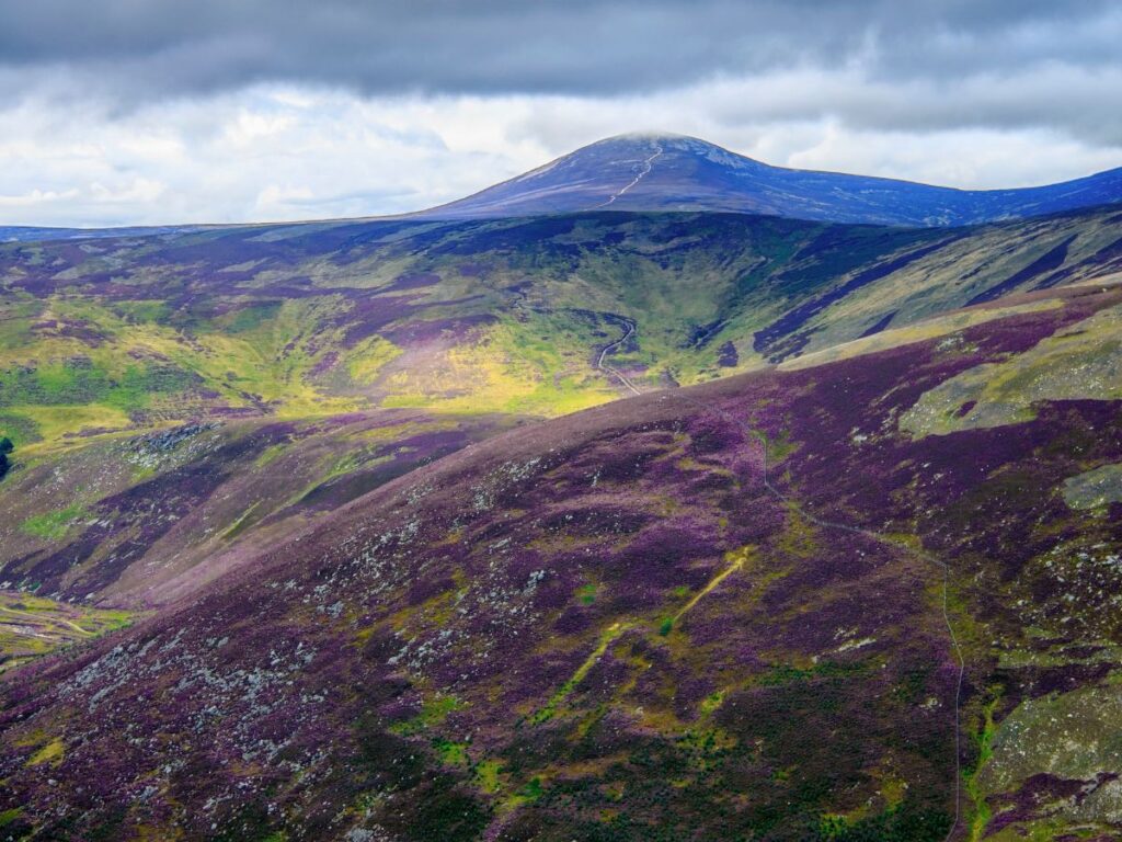
939 m, 17.7 km, 709 m of ascent, 4 to 6 hours. The most easterly Munro and the longest walk of the nine, but the climbing is gentle. The route is mostly track and a good hill path, with a trig point on the summit. This is a good choice if you are fit and want distance without steep ground.
Watch for: The route is very exposed on the moorland tops in bad weather. The crossing of the Easter Burn is easy in dry conditions but can be harder after heavy rain, and the ground is rockier near the summit. Stalking on Invermark Estate runs from late August to 15 February, with none on Sundays. The main path from Invermark is usually open.
Getting there: Invermark car park in Glen Esk. Public transport is very limited, with only a school bus from Brechin.
Plan your trip: live forecast, parking, route map, GPX download and safety guide for Mount Keen on Cairnova.
Munros that look easy but are not
Some hills turn up on “easiest Munro” lists because they start high or look short on a map. Walkhighlands grades these routes harder than the nine above, and you should leave them for later.
- Cairn Gorm. The northern corries route is 11 km with 775 m of ascent and takes 5 to 6 hours. Walkhighlands gives it its top grade of four boots. It is very exposed and runs close to cliff edges, and near the summit snow and poor visibility have caused fatal accidents. Funicular passengers are not allowed to leave the top building, so the funicular is not a shortcut for a first Munro.
- Meall nan Tarmachan. The full Tarmachan Ridge is 13 km with 783 m of ascent and takes 5 to 7 hours, also four boots. It has a narrow grassy arête and a short Grade 1 scramble, which can be bypassed in summer. A direct route to the main summit is shorter, but the ridge is the reason people recommend the hill, and it is not a beginner walk.
- Mount Keen from Glen Tanar. The Glen Tanar route is 29.5 km and takes 8 to 9 hours. The Glen Esk route in the ranking above is the one to choose.
Which easy Munro should you choose?
- Shortest day: The Cairnwell.
- Simplest navigation in cloud: Ben Chonzie, where a fence line leads to the summit, or Mayar and Driesh, where fence posts and cairns mark the plateau.
- Nearest to Glasgow: Ben Lomond.
- Central Scotland: Ben Chonzie, Schiehallion, Ben Vorlich and Ben Lawers are all in Perthshire.
- Without a car: The Cairnwell by bus, or Ben Lomond using the summer ferry from Tarbet.
- Long and gentle: Mount Keen from Glen Esk.
- Views for the effort: Ben Lomond for Loch Lomond, Ben Lawers for the high ridge.
Before your first Munro
- Check the mountain forecast the evening before and again in the morning. The Mountain Weather Information Service (MWIS) gives forecasts for the hills, which differ a lot from the car park forecast.
- Carry a map and compass and learn to use them, plus a backup such as a phone with a downloaded map. Walkhighlands advises against relying on a single phone, app or map.
- Wear and carry the right clothes. A waterproof jacket and trousers, a warm layer, a hat and gloves (even in summer), and sturdy footwear. Cotton, including jeans, holds water and chills you.
- Take food, water, a head torch and a first aid kit. Allow more time than the table says on your first outing.
- Set a turn-around time before you start, and keep to it. Reaching the summit is optional. Getting back is not.
- Tell someone your route and when you expect to be back. In an emergency, call 999 and ask for the police, then mountain rescue.
- Check for deer stalking between late summer and mid-February. Estate notices and the route pages above give dates, and main paths are usually open.
- Keep winter for later. Walkhighlands advises ice axe and crampons if there is snow on Ben Lomond, for example. Snow and ice change every hill on this list.
Frequently asked questions
What is the easiest Munro for beginners?
The Cairnwell, usually climbed with Càrn Aosda from the Glenshee Ski Centre, is the easiest of the nine hills ranked here. It has the least climbing, 286 m, and takes two to three hours. Ben Chonzie and Ben Lomond are the best choices if you want a single summit with simple navigation.
Which Munro should I climb first?
Choose by what limits you. If time or fitness is the limit, pick The Cairnwell. If nervous navigation is the limit, pick Ben Chonzie, where a fence line leads to the summit. If you are starting from Glasgow, Ben Lomond is the nearest. Avoid Cairn Gorm and the Tarmachan Ridge for a first Munro.
What is the best Munro to start with?
For most people, Ben Chonzie or Ben Lomond. Ben Chonzie has the simplest navigation, with a track and then fence posts to the summit. Ben Lomond has a wide, obvious path and big views over Loch Lomond, but it is busy and involves nearly 1,000 m of climbing.
Which Munro is the easiest to climb in Scotland?
Of the hills ranked here, The Cairnwell has the smallest ascent and the shortest time. “Easiest” assumes good summer conditions. In cloud, rain or snow, every Munro is harder, and the boulder field on Schiehallion and the open plateau on Ben Wyvis become serious navigation tests.
What are the easiest multi-Munro bagging days?
At Glenshee, Walkhighlands describes a round of The Cairnwell, Càrn Aosda and Càrn a’Ghèoidh: three Munros in 13 km with 595 m of ascent, taking 5 to 6 hours. Ben Lawers and Beinn Ghlas give two Munros in 11.4 km with 940 m of ascent. Walkhighlands gives Mayar and Driesh as two Munros in 14.5 km with 835 m of ascent.
Do I need experience or a guide for my first Munro?
You do not need a guide for the hills in this list in good summer weather, but you do need to be able to navigate with a map and compass and carry the right kit. If you are unsure, a short course or a mountain instructor is a sensible first step, and many beginners go with a more experienced friend.
Can a beginner climb a Munro in winter?
Not without winter skills and equipment. Snow and ice change the route, the difficulty and the navigation, and some of the hills here need an ice axe and crampons when there is snow. Plan your first Munro for the summer months and treat winter as a separate skill to learn.
How we checked these numbers
Distances, ascents, times and summit heights come from the route guides on Cairnova: The Cairnwell, Càrn Aosda, Ben Chonzie, Ben Lomond, Schiehallion, Ben Vorlich, Mayar, Driesh, Ben Wyvis, Ben Lawers, Beinn Ghlas and Mount Keen. Those routes are digitally mapped and not yet field-verified. Descriptions, boot grades, stalking notes and the combined round figures come from Walkhighlands pages for Ben Lomond, Schiehallion, Ben Chonzie, Ben Vorlich, The Cairnwell, Ben Wyvis, Ben Lawers, Mayar and Driesh, Mount Keen from Glen Esk, Cairn Gorm and the Tarmachan Ridge. Last checked October 2026.
Choosing your first Munro? Open the interactive 3D map on Cairnova Mountain Intelligence to explore the route of every mountain, then use the guide for your hill to check the forecast, parking and safety information before you set off.
