Ben Lawers1,214m
ALL MUNROS Perthshire

Ben Lawers

Explore routes, mountain forecasts and essential information for your next adventure.

Height1,214m
Typical duration3–5 hrs
Routes available1
DifficultyModerate

Today’s mountain at a glance

Checking --/100

Today’s daily summit forecast is loading for Ben Lawers.

View full forecast →
Best windowLoading

Recommended daylight window

Primary riskChecking forecast

Reviewing today’s daylight forecast.

Wind--

Gusts loading

Temperature--

Feels-like loading

Rain chance--

Daily modelled total

Visibility--

Daily summit estimate

Checking conditions
Updating...
Loading Loading Loading Loading Loading Loading
DISCOVER THE MOUNTAIN

About Ben Lawers

Ben Lawers forms the high point of the mountain range above Loch Tay, with Beinn Ghlas standing on a familiar approach to its summit. Its significance reaches beyond height and views: nutrient-rich rocks support an exceptional concentration of arctic-alpine plants. The mountain gives its name to a National Nature Reserve that also encompasses neighbouring slopes and ridges. For walkers, this combines a high-level mountain outing with a landscape where the smallest plants can be as distinctive as the skyline.

The landscape

The range rises north of Loch Tay, with Ben Lawers its central high point and Beinn Ghlas forming part of a familiar approach.

The ascent

The published approach crosses Beinn Ghlas before descending to a bealach and climbing Ben Lawers; the two summits are distinct stages.

A botanical mountain

Nutrient-rich rocks help sustain rare arctic-alpine plants, making the reserve important for its small-scale natural features as well as its mountains.

Explore this mountain in more detail

About the mountain

Ben Lawers overlooks Loch Tay as the highest point of its extensive mountain range. The reserve that bears its name includes parts of both the Lawers and Tarmachan ranges, bringing several Munros into a connected conservation landscape. The mountain is particularly noted for arctic-alpine plants: its rocks create nutrient-rich habitats high above the loch. This gives a walk here two very different scales of interest, from the shape of the ridges to small plants growing close to the ground. Both are part of what makes Ben Lawers distinctive.

What the climb is like

A familiar published route first climbs Beinn Ghlas, then follows the connecting ridge down to a bealach before ascending Ben Lawers. The second summit is therefore not simply the top visible at the beginning of the walk. Paths are established, but the high ground remains exposed to mountain weather. Longer continuations towards other Lawers Munros introduce different terrain and a greater commitment; they should be planned as separate itineraries. Use the Route tab for the supplied map and practical details, and keep to durable paths around sensitive plant communities.

Landscape and geography

The Lawers range stands north of Loch Tay, with Beinn Ghlas, Ben Lawers and the surrounding ridges forming a substantial upland group. High-altitude outcrops of nutrient-rich rock contribute to the reserve’s celebrated plant habitats. Rather than a single isolated peak, Ben Lawers is the high point within this larger system of summits and slopes. Conservation work across the reserve seeks to protect the habitats that make the group important.

Recommended route

Route map preview for Ben Lawers
Tiles © Esri and data providers

World Imagery sources: Esri, DigitalGlobe, GeoEye, i-cubed, USDA FSA, USGS, AEX, Getmapping, Aerogrid, IGN, IGP, swisstopo, and the GIS User Community.

Imagery attribution

Ben Lawers Via Ben Lawers Car Park

11.4km 940m ascent 3–5 hrs Moderate

Review the full route notes, map and GPX information before setting off.

View route →
Essential information

Parking / startBen Lawers Car Park
RegionPerthshire
Routes available1
TerrainMountain path, Steep high ground, Open mountain terrain
View essential info →
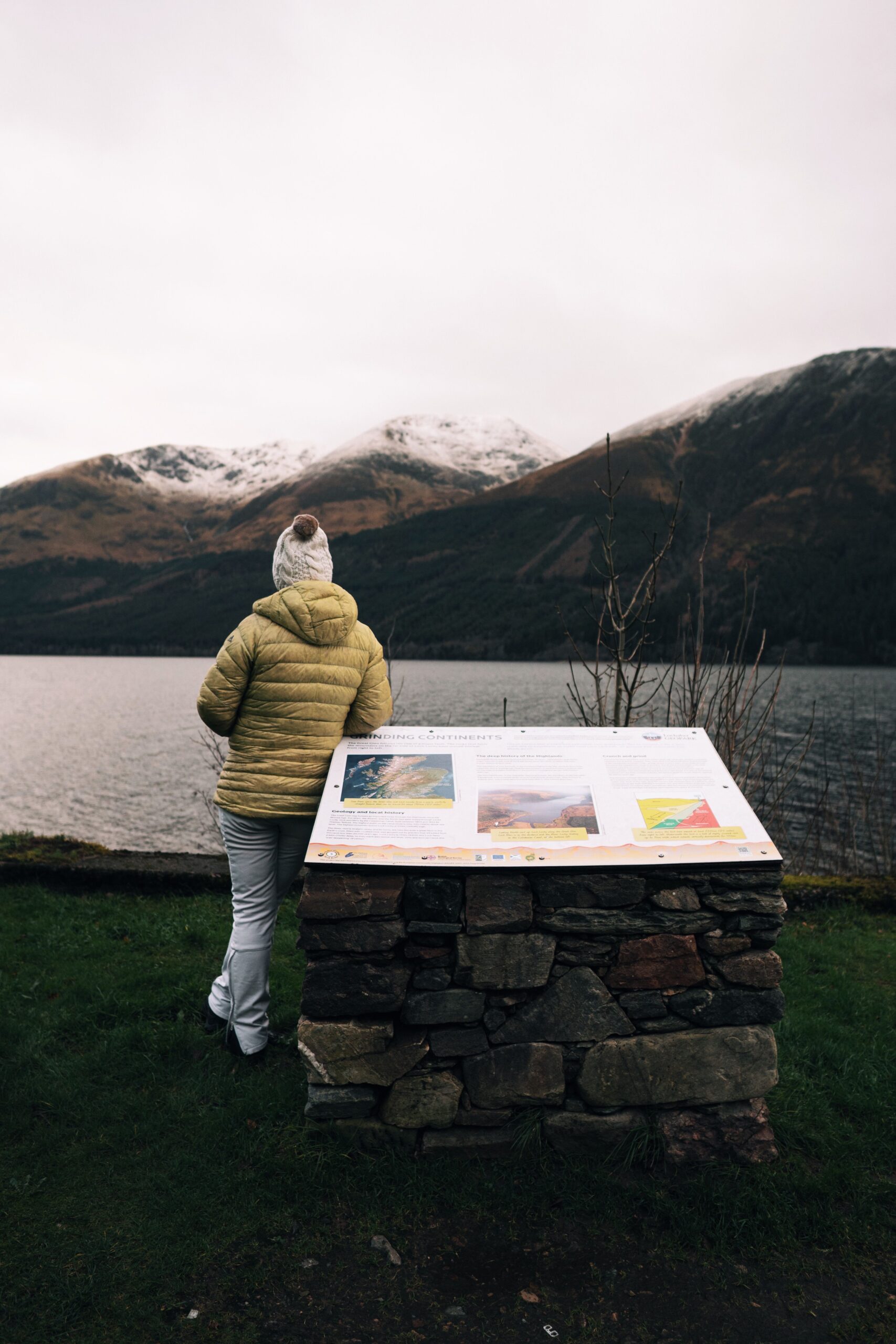
Walker consulting a mountain information board in Scotland

Current seasonal hazards

StatusLoading live data

Seasonal and weather-related risks are modelled estimates. Check the full hazard assessment before you set off.

View hazard assessment →

Safety reminder

Mountain weather can change fast.

Carry waterproofs, warm layers, food, water, navigation equipment and a fully charged phone.

Plan ahead and be prepared to turn back if conditions worsen.

Check the latest 7-day and hourly forecast and know how to navigate in poor visibility.

View safety guide →
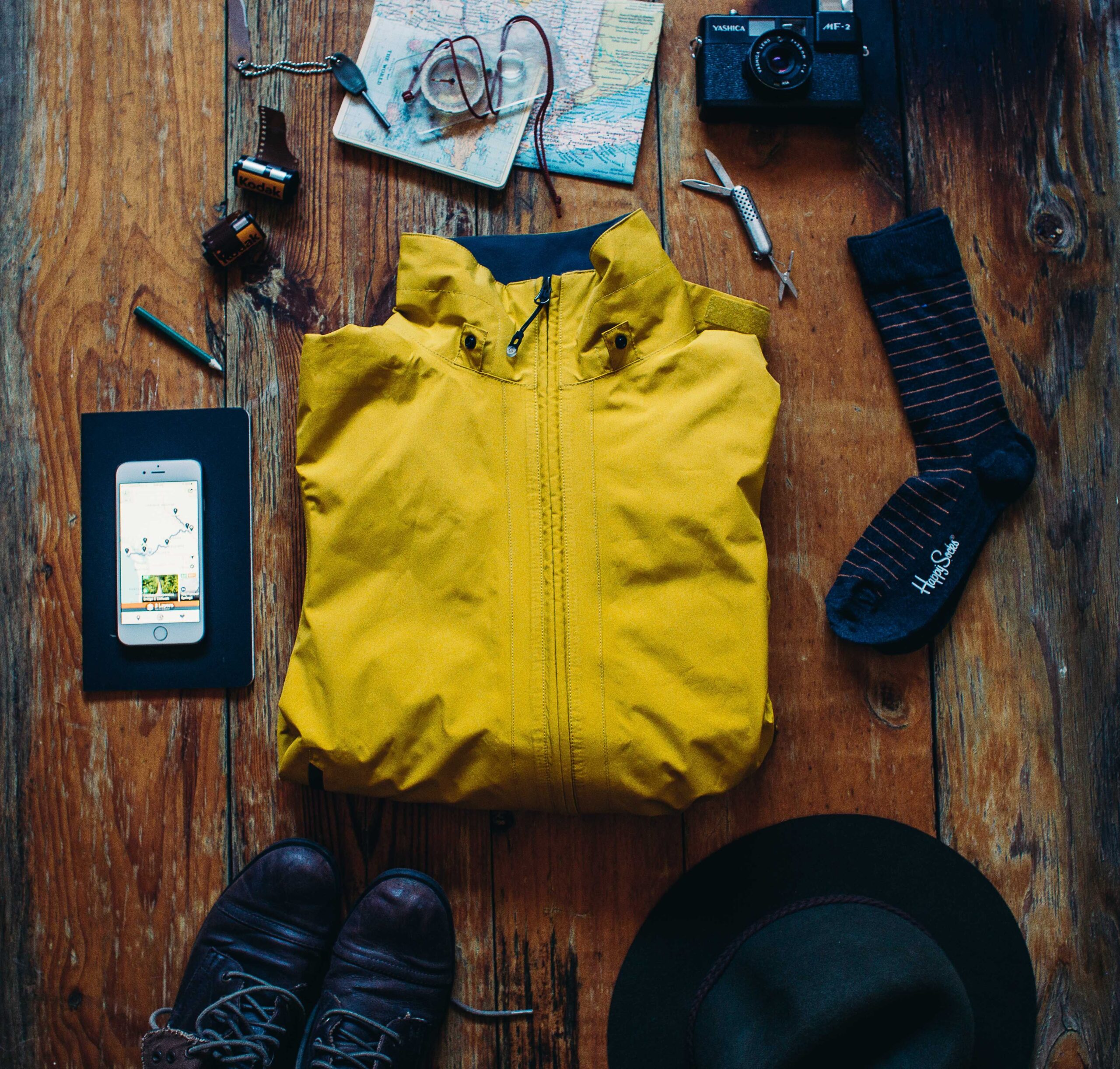
Hiking boots, map, compass and outdoor equipment prepared for a mountain trip
Current Conditions
✓
Live summit weather and route planning intelligence for Ben Lawers.
Updating...
Summit Temp
Summit reading
Wind
Summit wind
Live
Status
Updated forecast
Mountain Snapshot
LocationPerthshire
TerrainMountain path, Steep high ground
Height1,214m
DifficultyModerate
Routes1
ParkingBen Lawers
Which Route Is Right For You?
⛺

First time climbing Ben Lawers?

Ben Lawers Via Ben Lawers Car Park is the most direct route option currently listed.

Choose Ben Lawers Via Ben Lawers Car Park →
Available Routes
MODERATE

Ben Lawers Via Ben Lawers Car Park

11.4km 940m ascent 3–5 hrs
View Route Details
Plan Your Day

Weather Forecast

View the 7-day forecast for summit and valley conditions.

View Forecast →

Routes & Maps

Detailed route information, maps, GPX files and route notes.

Explore Routes →

Safety Information

Mountain hazards, essential kit and safety advice.

Safety Centre →
Safety On Ben Lawers

Navigation

Paths can be unclear in poor visibility. Carry a map, compass and know how to use them.

Learn More →

Weather

Conditions change rapidly on the mountain. Check the forecast and be prepared for all conditions.

Learn More →

Emergency

Dial 999, ask for Police then Mountain Rescue

Learn More →
Explore More Mountains
Ben ChonziePerthshireView Guide →
Ben VorlichStirling / TrossachsView Guide →
Stuc a' ChroinPerthshireView Guide →
Ben LomondCentralView Guide →

Ben Lawers is a Scottish Munro rising to 1,214m in the Perthshire region. This guide combines the mapped route, route-specific elevation gain, live mountain weather and practical safety information.

Live Conditions

Live Conditions
Updating…
Summit temp
Wind
Status
7-Day Forecast
Detailed 48hr · 7-day outlook
Essential Info
Parking, access & facilities
Safety & Hazards
Hazards & safety tips
Save for Later
Save this mountain

Available Routes

Ben Lawers Via Ben Lawers Car Park Moderate
11.4km - 940m - 3–5 hrs
Today's Safety Headline
Checking live conditions…
Before You Commit
ParkingBen Lawers Car Park · Pay & display; no toilets on site (nearest in Killin or Kenmore). Highest starting point of any Munro car park in Scotland (~440m). [Coordinates verified via OS grid ref NN608377]
SignalVariable or absent on high ground
SeasonSnow and ice possible above 900-1000m; carry winter kit when forecast.
Variable or absent on high ground
Ben Lawers Car Park
Snow and ice possible above 900-1000m; carry winter kit when forecast.
See full forecast and choose your route
Loading 7-day forecast for Ben Lawers…

Routes & Maps

1 route available. Explore the map, route demands and starting point.

Ben Lawers Via Ben Lawers Car Park

Distance
11.4km
Ascent
940m
Estimated duration
3–5 hrs
Difficulty
Moderate
Starting point
Ben Lawers Car Park
Loading map...
Elevation profile

Supplied route elevation data — not independently verified terrain measurements.

Mountain summit elevation: 1,214m. This is distinct from total route ascent.

Profile maximum 1,199m Starting elevation used 412m
0km 2km 4km 6km 8km 10km 11.4km
Digitally mapped route guidance

Cairnova route lines and GPX files are independently prepared using publicly mapped paths, geographic mapping data and route-planning references. They have not been walked or field-verified by Cairnova. Routes, distances, ascent figures and timings are guidance only and may contain gaps, inaccuracies or pathless sections. Check the route against a current official map, carry suitable navigation equipment and make your own decisions on the mountain.

Read the full route and GPX terms →
FIELD GUIDE Ben Lawers

Know the mountain. Plan your day.

Everything you need to prepare for Ben Lawers, from parking and terrain to mountain safety.

Explore the field guide

Everything you need to plan your visit, understand the mountain and prepare for the conditions.

Official avalanche report (SAIS)

Official avalanche forecast status unavailable

Check the latest SAIS regional avalanche report before travelling. Unavailable information does not indicate low avalanche risk.

Source: Scottish Avalanche Information Service. Regional information; review the complete official report.

In an emergency

999 then Police then Mountain Rescue

Emergency guidance
Information accuracy & sources

Access, parking charges, public transport and facility opening can change. Confirm time-sensitive details before travel. Route lines and GPX files remain guidance only.

Modelled estimates, not observations. Cairnova’s avalanche output is a weather-and-snow screen; verify with SAIS.

Modelled information requires JavaScript and a working feed. Read the general precautions and check official forecasts. Missing information does not indicate low avalanche risk.

All environmental assessments, their explanations, source attribution and limitations remain in Safety & hazards.

Full disclaimer and verification notes

MOUNTAIN FIELD GUIDE Ben Lawers

Getting there

Parking, transport and the right start for Ben Lawers.

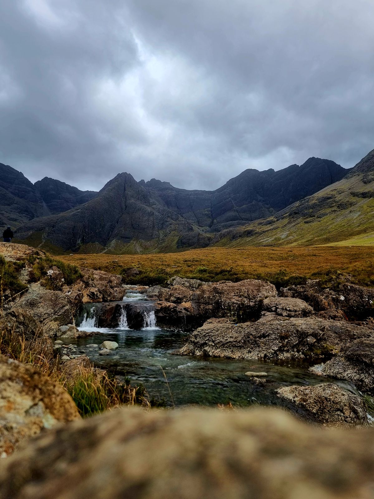
Illustrative Highland photography.
P

Parking & trailhead

Where to park, what to expect, and how to find the start of the route.

Charges mentioned
Parking location
Ben Lawers Car Park
Coordinates
56.51097° N, 4.26284° W
Recorded location notes
Pay & display; no toilets on site (nearest in Killin or Kenmore). Highest starting point of any Munro car park in Scotland (~440m).
Get directions
Open parking pin

Street View near the recorded parking or access point. Imagery may be outdated; check signs and avoid blocking access.

Public transport

No direct service

No direct bus to the car park; nearest served point is Killin, reachable from Callander/Crianlarich by bus.

Confirm operator timetables, service days and the return journey. Treat any taxi, cycle or walk as a separate last-mile leg.

Enter your departure point and a confirmed stop or station serving the area. Confirm the final approach to the parking location separately; these links do not confirm a direct service.

Approach and route start

Select the recorded route access point. Compare the supplied GPX start below before setting out.

Ben Lawers Via Ben Lawers Car Park
Recorded route access
Ben Lawers Car Park
56.510972, -4.262842
Directions to recorded access

Supplied GPX starts

Ben Lawers Via Ben Lawers Car Park

Recorded GPX start matches the parking coordinates.

Ben Lawers Car Park

Information accuracy and source notes

Source notes and accuracy information
Access record: Researched · Last checked: 29 Jul 2026

Access, parking charges, public transport and facility opening can change. Confirm time-sensitive details before travel. Route lines and GPX files remain guidance only and require independent navigation checks.

i

Information Accuracy Notice

Parking information, facilities and access details are provided in good faith but may be subject to change. Always verify charges and opening times before travel. Cairnova accepts no liability for inaccuracies in third-party facility information.

Source and verification notes

Research notes from the parking record; not confirmation of current access or permission to park.

[Coordinates verified via OS grid ref NN608377]

MOUNTAIN FIELD GUIDE

Mountain details

Key facts, terrain and practical information for Ben Lawers.

Ben Lawers

02B: Glen Lyon to Glen Dochart & Loch Tay · Perth and Kinross

ELEVATION
1,214m
HEIGHT RANK
10
CLASSIFICATION
Munro

Location & geography

Summit location and geographic references.

Interactive map requires JavaScript. Summit coordinates are provided below.
OS grid reference
NN635414
Summit coordinates
56.54493, -4.22086
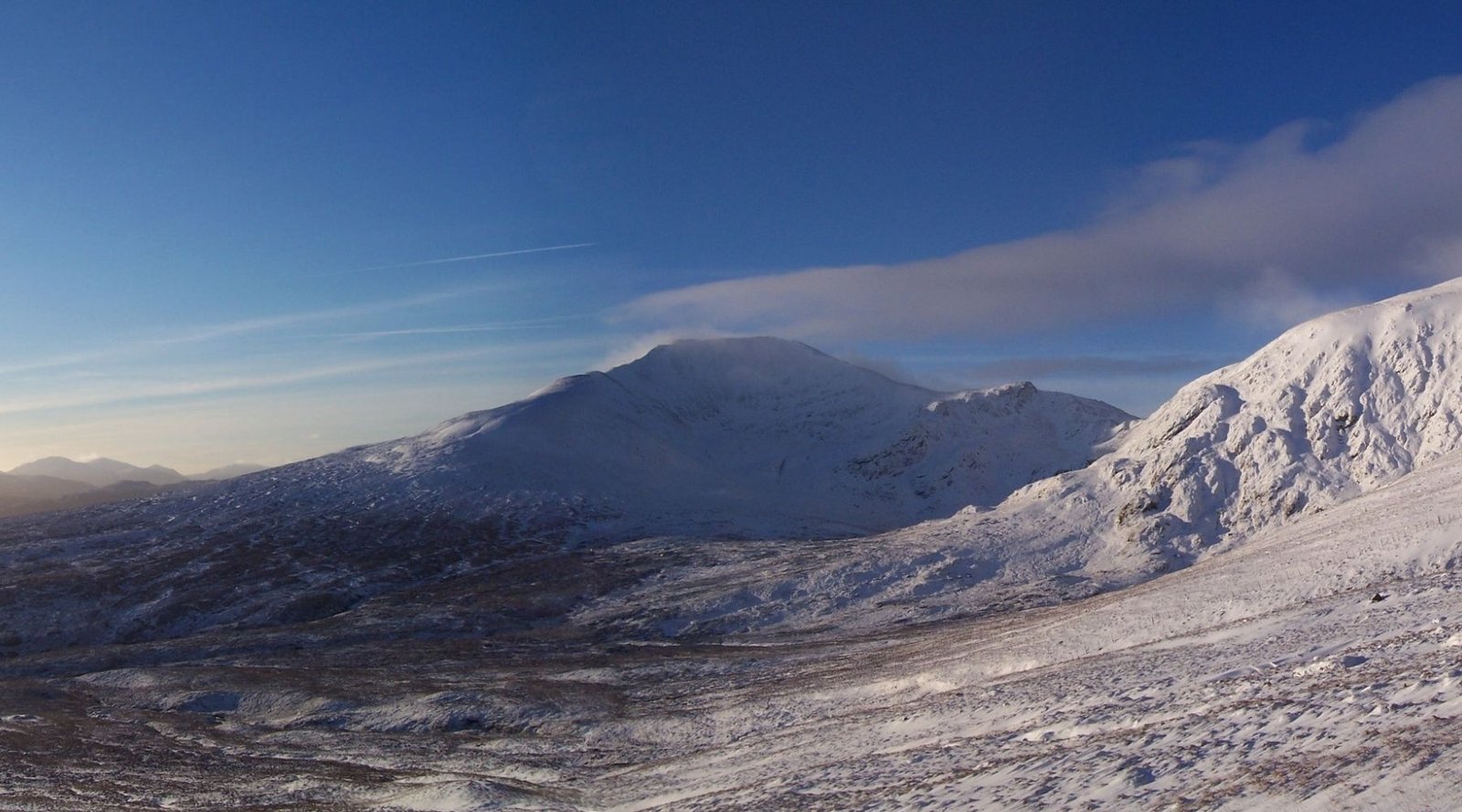
Ben Lawers — mountain landscape

Photo: StuzzyW · CC BY-SA 3.0 · Cropped

Terrain & landscape

Mountain pathSteep high groundOpen mountain terrainRocky summit terrain

Terrain overview

Terrain and exposure vary by route. Check the route notes before committing.

Explore route details

Practical considerations

Dogs

Dogs welcome; control around livestock

Access guidance; confirm current local restrictions. Please clean up after your dog and follow local access guidance.

Mobile signal

Mountain record · coverage not independently verified

Variable or absent on high ground

Signal may improve lower down, but should not be relied on for navigation.

Seasonal walking

Mountain record · suggested months, not a conditions forecast

The best months to climb Ben Lawers are May–September.

General seasonal guidance: Snow and ice can be present from October to May.

Full mountain reference facts

Mountain
Ben Lawers (Beinn Labhair)
Elevation
1,214m
Classification
Munro
Highest point
Munro summit
Height rank
10
Region / section
02B: Glen Lyon to Glen Dochart & Loch Tay
County
Perth and Kinross
OS grid reference
NN635414
Summit coordinates
56.544926062458, -4.2208619628034
Terrain
Mountain path, Steep high ground, Open mountain terrain, Rocky summit terrain
Surface
Mountain path, Steep high ground
Route type
Not supplied
Route reference

Ben Lawers Via Ben Lawers Car Park

Route difficulty: moderate · Elevation gain: 940m · Best months: May–September

Back to categories ↑
MOUNTAIN FIELD GUIDE

Nearby facilities

Plan your stop before or after Ben Lawers.

NEAREST RECORDED TOWN

Killin

Recorded settlement or service location for Ben Lawers.

Recorded distance
~7 miles / 11 km
Origin and measurement type are not consistently specified in the record.
ACCOMMODATION NEARBY

Places to stay in and around Killin

Explore hotels, B&Bs, hostels and other accommodation options.

FOOD & SUPPLIES

Cafés, shops and fuel

Find places to eat, pick up supplies or refuel.

Search results are provider listings, not confirmation that a service is available.

TRAILHEAD FACILITIES

Toilets and facilities at the start

Facilities at or near the recorded starting point.

  • Toilets

    Information point at car park; no toilets

    None recorded at start
  • Drinking water

    Availability has not been confirmed. Plan your water supply before setting out.

    Not confirmed
  • Parking

    See Getting There for parking and access information.

    View access
  • Public transport

    See Getting There for transport options.

    View access

Check opening times and seasonal availability before travel.

More facility informationAdditional availability notes, alternative locations and useful travel information.

Recorded accommodation and service notes

Hotels, B&Bs, campsites and cafes in Killin; Ben Lawers Hotel nearby on Loch Tay

Record status
Researched
Recorded check date
29 Jul 2026

A stored status or date does not confirm current opening or availability.

Explore recorded-area accommodation, food and services
Ben Lawers — mountain landscape
MOUNTAIN FIELD GUIDE

Safety & hazards

Ben Lawers · Know the conditions before you go.

Photo: StuzzyW · CC BY-SA 3.0 · Cropped

Official avalanche forecast (SAIS)

Regional SAIS information is distinct from Cairnova model estimates. Missing or out-of-season information does not indicate low avalanche risk.

The official forecast is regional, not specific to Ben Lawers. Cairnova’s weather-and-snow screen does not replace SAIS.

Official forecast currently unavailable

Open the complete SAIS regional report before setting out.

View official SAIS report

Conditions at a glance

Loading

Summit snow

UnavailableModelled snow depth; not an observation.

Freezing level

UnavailableModel estimate.

Lightning

UnavailableModel data requires JavaScript and a working feed.
About these estimates

Modelled conditions for Ben Lawers. Estimates, not direct observations or a complete safety assessment.

Update time refers to this display, not forecast validity. Source date and validity are not provided by this feed.

None modelled is not a statement of no danger. Confirm snow, terrain and conditions with the official SAIS report.

View more environmental conditionsTicks, midges, UV, pollen and detailed model information.
LoadingChecking

Gathering mountain and approach-level hazard data.

--Snow at base
--Snow at summit
--Freezing level
Pollen and weather values are modelled estimates. Tick and midge levels are Cairnova risk estimates, not observations. Avalanche output is only a weather-and-snow warning: always check the official SAIS forecast → when snow is present.
Ben Lawers — mountain landscape
MOUNTAIN FIELD GUIDE

Preparation

Ben Lawers — Plan, pack and prepare for your day in the hills.

Photo: StuzzyW · CC BY-SA 3.0 · Cropped

Mountain-specific preparation notes

Review the recorded details alongside your chosen route. These are planning references, not current conditions or independently verified access advice. Check the forecast, daylight and route demands before leaving, and adjust your kit to the day.

Review route details →

Before you leave

Take a few minutes to check your plans and conditions.

Before you leave
Go to forecast
View routes

Pack your essentials

Use this checklist as a guide. Adjust your kit for the route, season, weather and your experience.

Pack your essentials

Checklist completion is a planning aid, not confirmation of safe conditions.

Further preparation guidance

Further preparation guidanceMore detailed information to help you prepare for your walk.
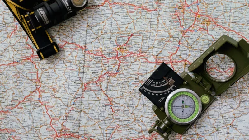
Map, compass and head torch for navigationNavigationFinding your way in poor visibility and remote terrain.Read guidance

Navigation reminders

Carry a map and compass (OS 1:25,000) and know how to use them. Check navigation and escape options before leaving. Do not rely on your phone for navigation.

Expect little or no mobile signal above higher ground. Download offline mapping before travel, and tell someone your route and expected return time.

View route notes →
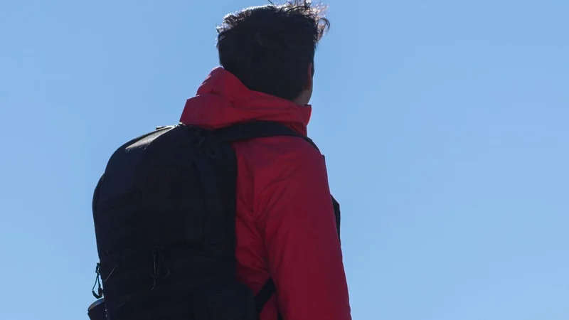
Hiker wearing a red outdoor jacket and backpackClothing & layersChoosing suitable clothing for changing Highland conditions.Read guidance

Pack waterproof jacket and trousers, insulating layers, spare warm hat and gloves, and footwear suitable for the terrain and conditions. Sturdy waterproof boots may be appropriate.

Conditions can change rapidly at any time of year. Check the latest 7-day and hourly forecast and adjust your kit.

Check the forecast →
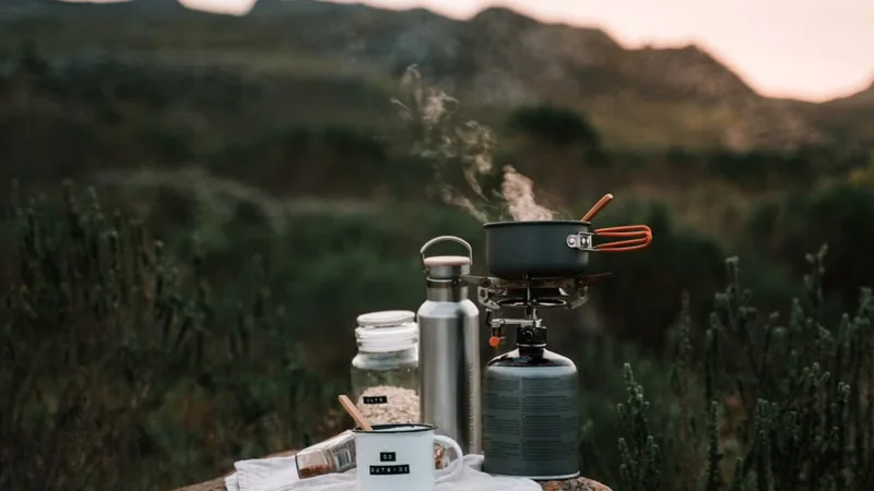
Compact cooking kit, water bottle and food outdoorsFood, water & shelterPlanning supplies and emergency essentials for your day.Read guidance

Carry food and water for the route, weather and possible delays. Include a first aid kit, emergency foil blanket or bivvy bag, and a head torch with spare batteries or power.

Keep a whistle accessible (6 blasts distress signal), and carry a fully charged phone with an offline map. Review emergency actions before setting out.

Emergency guidance →
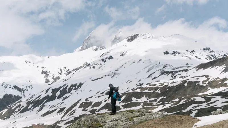
Walker facing snow-covered mountain terrainWinter considerationsAdditional skills, equipment and planning for winter conditions.Read guidance

Winter conditions can occur outside of winter. Winter hillwalking may require additional equipment, navigation skills and experience; a short checklist is not a substitute for training.

Review the weather and relevant official warnings, plan for reduced daylight, and be prepared to turn back.

Safety & hazards →
Ben Lawers — mountain landscape
MOUNTAIN FIELD GUIDE

Emergency

Ben Lawers · Get help, stay safe and know what to do.

Photo: StuzzyW · CC BY-SA 3.0 · Cropped
IN AN EMERGENCY

Call 999 or 112

Ask for Police, then Mountain Rescue.

Tell the operator your location, what has happened and how many people are involved.

Use your phone’s dialler. This website cannot contact or dispatch emergency services for you.

Find and share your location

Help rescuers locate you by sharing your current position or a useful mountain reference.

My current device position

Location not requested

Your device position is separate from the recorded references.

Mountain summit reference

Recorded summit — not your current location

OS grid reference
NN635414
Summit latitude, longitude
56.544926062458, -4.2208619628034

Route start / parking

Recorded route start — not your current location

Ben Lawers Car Park
Recorded latitude, longitude
56.510972, -4.262842
Check recorded access information →

Device coordinates stay on this page unless you choose to copy them. They are not stored, sent to this website or included on the map or printed reference card.

View recorded references on a map

Optional map requires JavaScript and map tiles. All recorded references remain available above.

▲ Recorded summit · P Recorded parking. No route line is implied. Your device position is not sent to map providers. Touch panning is disabled; use the zoom buttons.

What to do now

Use these as reminders, in the order needed. Do not delay calling for help.

Emergency action reminders

This checklist is not a sequence you must complete, and completion does not mean help has been requested. It is not saved between page loads.

More emergency guidanceLimited phone signal, emergency SMS, location sharing and rescue information.

Limited or no mobile signal

Reception may be unavailable in mountain terrain. An emergency call may use another available network, but a connection is not guaranteed. Do not move into danger to look for reception.

Use a voice call if you can. If you cannot speak, listen to the operator’s instructions.

Official emergency-network information ↗

Emergency SMS — register in advance

Text REGISTER to 999 before travelling, then follow the replies to complete registration. Wait for confirmation that your number is registered. Registration does not guarantee delivery: do not assume an emergency message has reached the service until you receive a reply.

SMS is a secondary option when voice contact is not possible; it does not work without sufficient mobile service.

Official emergencySMS instructions ↗

Sharing your location

Carry an offline map and be ready to share GPS coordinates, an OS grid reference or a named feature. Follow the operator’s preferred method. A recorded summit or parking point is not your current position.

what3words can be an optional supplementary method if agreed with the operator. If you plan to use its app, download it and learn how it works before travelling; do not assume a three-word address removes positioning uncertainty.

Mountain Rescue

Request Mountain Rescue through Police by calling 999 or 112. Police determine which team responds; this page cannot confirm dispatch coverage.

Official Scottish Mountain Rescue guidance ↗

Stored emergency information

Stored notes are not live service availability or confirmation of a facility’s suitability.

Hospital note in mountain record
Use 999 in an emergency; check local services before travel
Emergency note in mountain record
Dial 999, ask for Police then Mountain Rescue

No independently verified local-team coverage is available in this template. A stored team name is not shown as an assigned response service.

Emergency reference cardSave or print a compact reference for this mountain.

Cairnova emergency reference

Ben Lawers

Call 999 or 112. Ask for Police, then Mountain Rescue.

Tell the operator your actual location, what has happened and how many people are involved. Follow their instructions.

Stored references below are not your current location.

Recorded summit OS grid
NN635414
Recorded summit coordinates
56.544926062458, -4.2208619628034
Recorded route start / parking
Ben Lawers Car Park
Recorded start coordinates
56.510972, -4.262842

Tell a responsible person your route plan and expected return time before setting out.

This card does not request help or dispatch rescue. Recorded references and access details may be incomplete or change; carry an independent map.

Back to Mountain

Current Conditions

—
Loading live conditions…
Summit Conditions
—
Temperature
—
Wind
—
Visibility
—
Precipitation
Last updated just now
Base Conditions Parking & approach level
Hourly Forecastscroll →
At a Glance
Feels like—
Temperature—
Cloud base—
UV index—
Sunrise—
Sunset—
Wind Details
—
—
CALMGALE
Precipitation
—
—
this hour
Intensity—
Direction—
Today total
——
Visibility
—
Fog—
Cloud at summit—
Rain impact—
Hazard Alerts
Pollen—
UV—
Midges—
Ticks—
Lightning—
Avalanche—
Snow & Freezing Level
—
Snow at Base
—
Snow at Summit
—
Freezing Level
Data & Accuracy Notice
Weather guidance is sourced from Open-Meteo model data. Source update frequency varies by provider and forecast model. Summit wind speeds are estimated using Cairnova orographic adjustments and are not directly measured. This information is for planning only and is not professional safety advice. Cairnova accepts no responsibility for decisions, losses or incidents arising from use of this data. Always carry a map and compass and check official forecasts before setting off.
Back to Mountain

—

7-Day Forecast

7-Day Outlook
Weather Map
Loading map…
—
Forecast Accuracy Notice
Forecast guidance is sourced from Open-Meteo model data. Source update frequency varies by provider and forecast model. Summit values are modelled estimates at elevation with Cairnova orographic adjustments applied. Accuracy can reduce with forecast range and local mountain effects. This information is for planning only and is not professional safety advice. Cairnova accepts no responsibility for decisions, losses or incidents arising from use of this data.