Recommended route

Tiles © Esri and data providers
World Imagery sources: Esri, DigitalGlobe, GeoEye, i-cubed, USDA FSA, USGS, AEX, Getmapping, Aerogrid, IGN, IGP, swisstopo, and the GIS User Community.
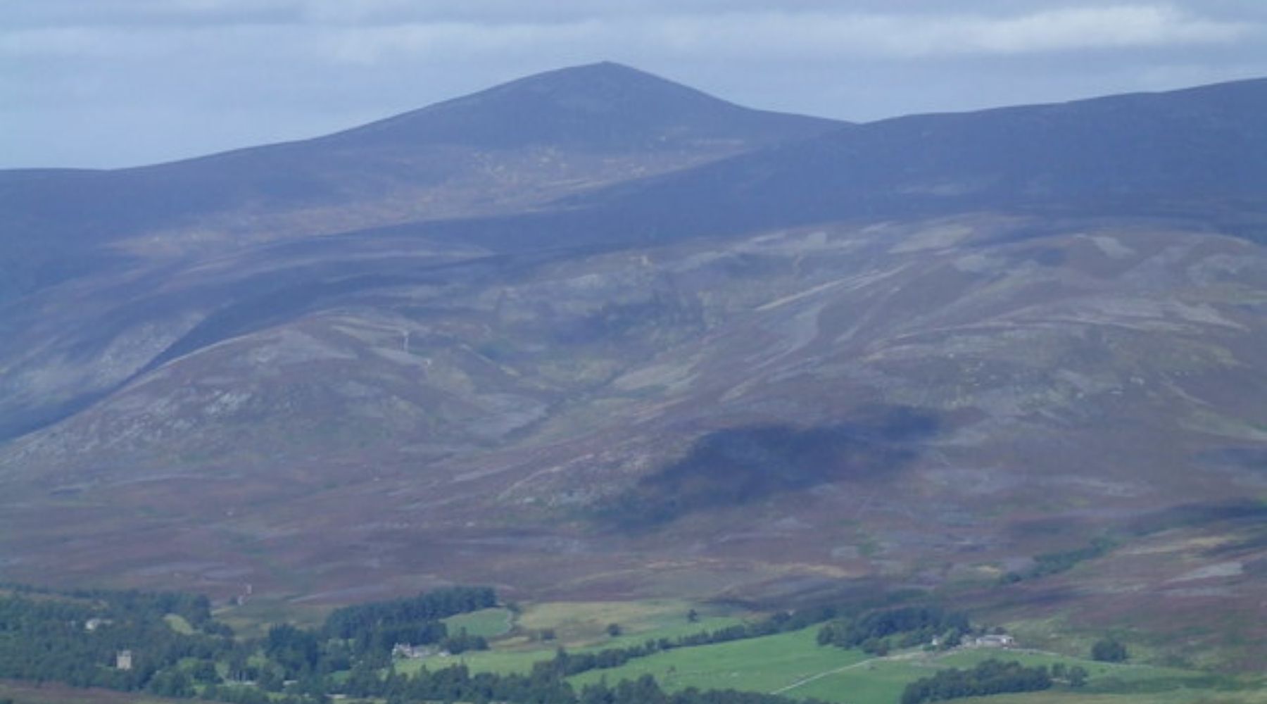
Imagery attributionMount Keen Via Invermark
Review the full route notes, map and GPX information before setting off.
View route →